July 2022
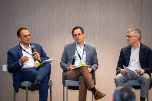
Galala University conducted an educational webinar titled “Environmental Applications of Remote Sensing and Geographic Information Systems (GIS) in Egypt,” showcasing the vital role these technologies play in assessing and managing environmental resources and risks. This event highlighted the growing importance of remote sensing and GIS as powerful tools for sustainable development and environmental protection in Egypt.
Structured as a two-part series, the webinar provided a comprehensive look at both the scientific foundations and practical applications of these technologies. In the first part, participants were introduced to the core principles of remote sensing and GIS, focusing on how these technologies gather, process, and analyze environmental data. This segment offered valuable insights into the essential functions and benefits of using satellite imagery and geospatial data for environmental monitoring.
The second part of the webinar explored real-world applications, with case studies demonstrating how remote sensing and GIS are used to address pressing environmental issues across Egypt. From tracking deforestation and monitoring water quality to managing urban expansion and assessing agricultural productivity, these technologies are proving invaluable in guiding decision-making processes and supporting sustainable development goals.
By organizing this webinar, Galala University emphasized its commitment to advancing environmental awareness and education, equipping students and professionals with knowledge of cutting-edge tools for environmental management. The event aligns with Galala University’s dedication to fostering innovation and empowering the next generation of environmental scientists and decision-makers in Egypt and beyond.


